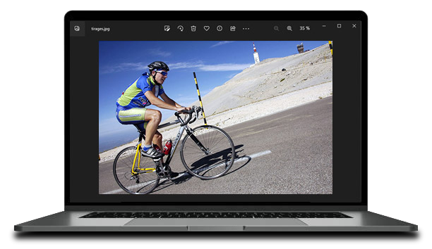
Find our Photographers on the slopes of Mont Ventoux
Since 2007, our photographers capture your unforgettable moments each year, from April to October, during your ascent of Mont Ventoux. Whether you are a cyclist, runner, or motorized vehicle driver, our teams are there to immortalize beautiful memories.
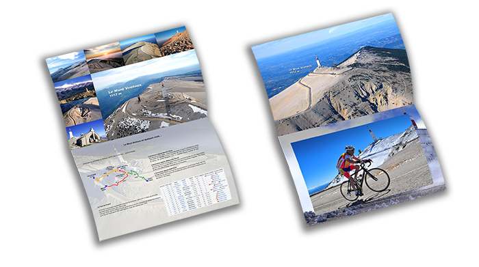
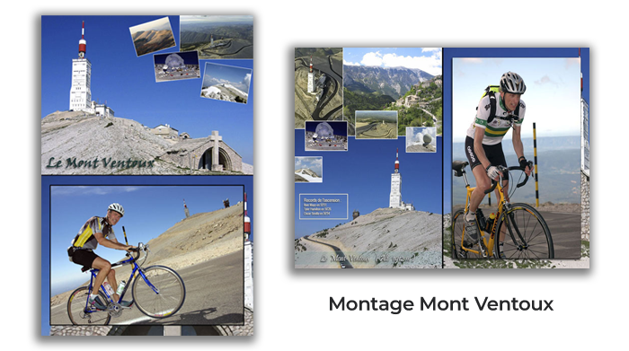
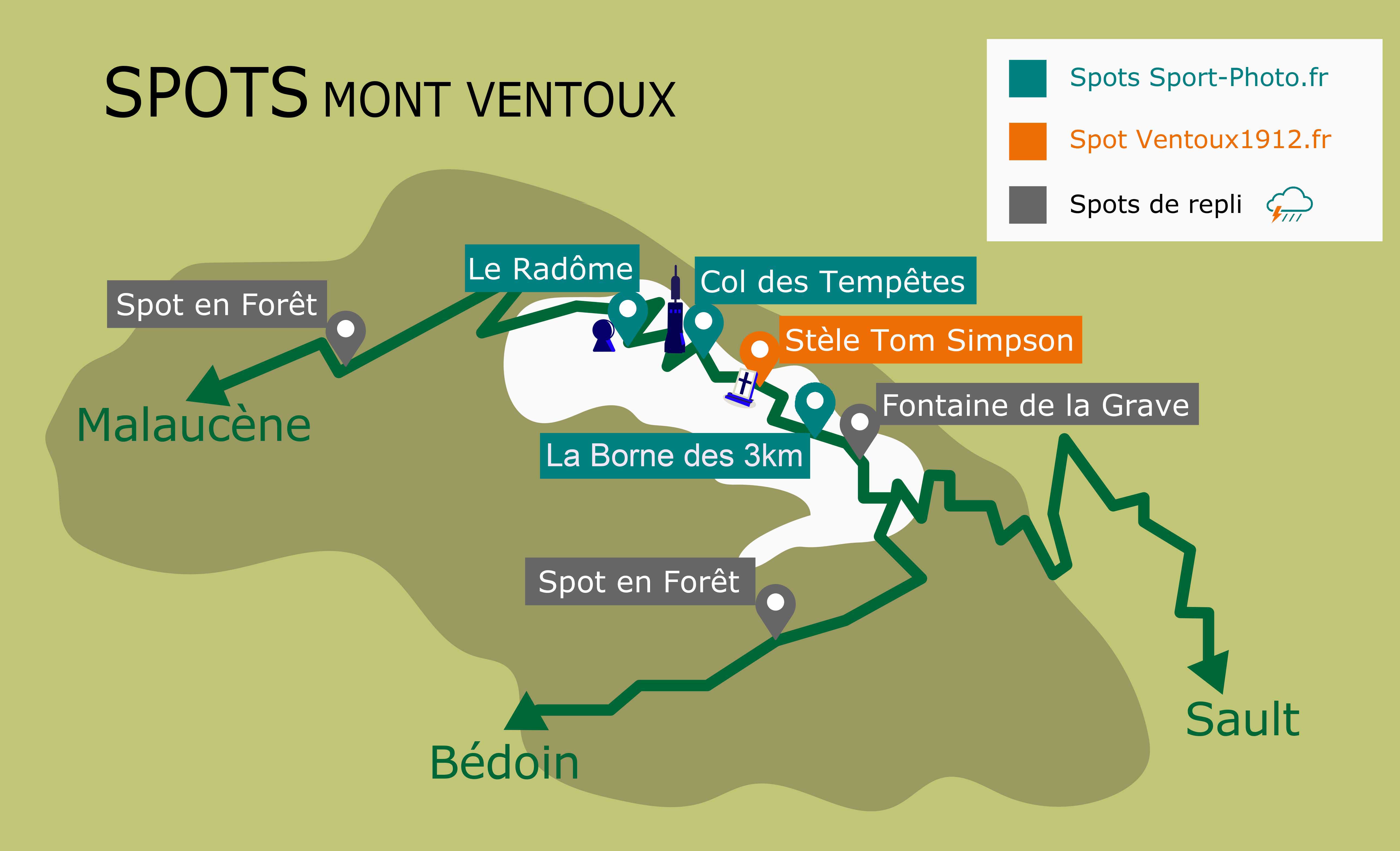
Our Ventoux1912.fr Spot
Tom Simpson Memorial
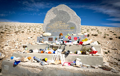
- Altitude: 1730 m, 1.5 km before the summit
- On the road from Sault or Bédoin, above Chalet Reynard.
- Find our photographer near the famous Tom Simpson memorial.
- 1.5 km from the 'Borne des 3 km' spot, cyclists take between 10 and 30 minutes to cover the distance between the two spots.
Our Sport-Photo.fr Spots
Col des Tempêtes (Storms Pass)
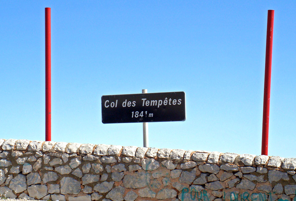
- Altitude: 1841 m, 0.7 km before the summit
- On the south side from Sault or Bédoin, at the famous Col des Tempêtes.
- Cyclists take between 5 and 15 minutes to travel the distance between the two spots, 800 m apart.
- 2.3 km from the 'Borne des 3 km' spot, cyclists take between 15 and 45 minutes to travel between the two spots.
The 'Borne des 3 km' marker
- Altitude: 1620 m, 3 km before the summit.
- On the southern slope from Sault or Bédoin.
- This is the first spot where you'll be photographed after passing Chalet Reynard.
Le Radôme
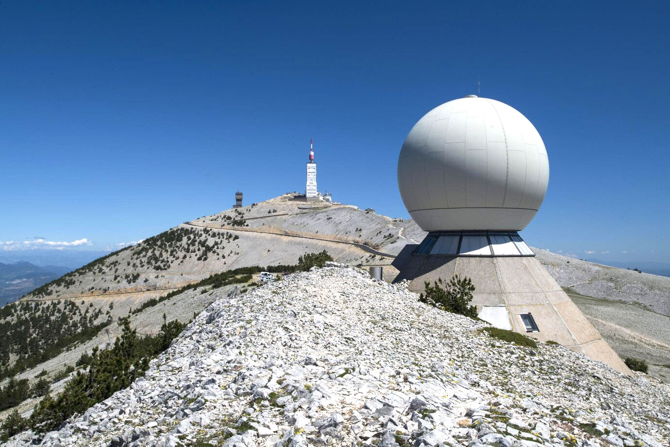
- Altitude: 1818 m, 1 km before the summit
- On the ascent from Malaucène, find our photographer in a sharp left turn with the Radôme in sight, a massive white sphere protecting a radar.
Our Backup Spots
Sometimes, the weather at the summit of Ventoux can be unpredictable. Our photographers adapt by moving to backup spots:
Fontaine de la Grave
- Just after Chalet Reynard, above, for those coming from Bédoin or Sault.
Spots in Forest
- Two backup spots well-protected from the wind, located lower in the forest.
These adjustments enable us to capture your memorable moments, regardless of the weather conditions.